


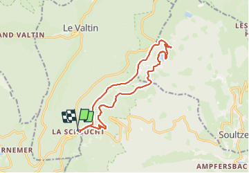


14,4 km | 22 km-effort

Usuario GUIDE


Aplicación GPS de excursión GRATIS
 SityTrail
IGN / Institutos geográficos
SityTrail World
El mundo es suyo
Ruta Senderismo de 14,4 km a descubrir en Gran Este, Vosgos, Le Valtin. Esta ruta ha sido propuesta por Michel1963.
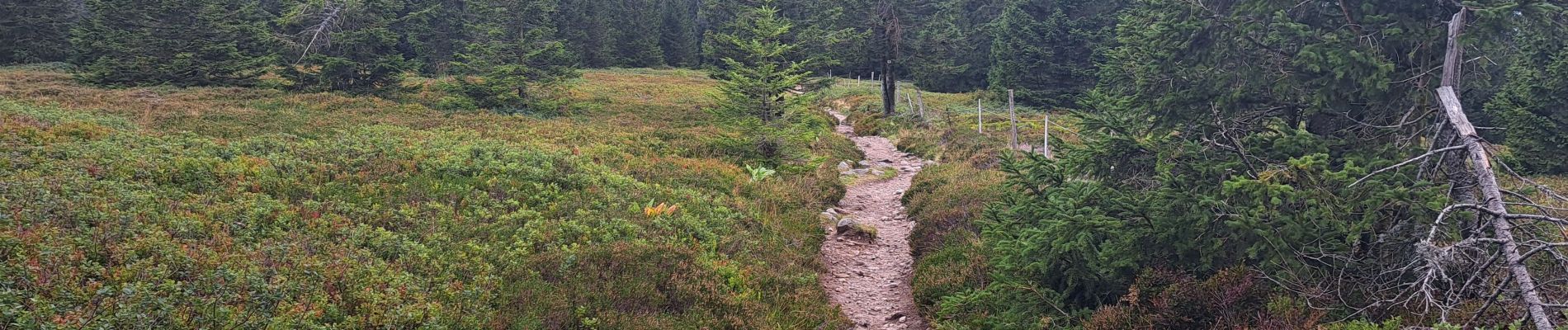
Très difficile à cause de certains passages aériens sensibles et pouvant être dangereux pour randonneur non expérimenté.
Personne sensible au vertige s'abstenir !


29 fotos en total. Haga clic en una foto para mostrarlas todas en la galería.

Senderismo

Senderismo

Senderismo

Senderismo

Otra actividad

Senderismo

Senderismo

Senderismo

Senderismo