


9,3 km | 21 km-effort

Usuario


Aplicación GPS de excursión GRATIS
 SityTrail
IGN / Institutos geográficos
SityTrail World
El mundo es suyo
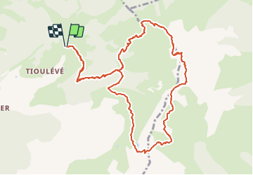
Ruta Senderismo de 12,6 km a descubrir en Auvergne-Rhône-Alpes, Saboya, Montsapey. Esta ruta ha sido propuesta por jibebouvier.
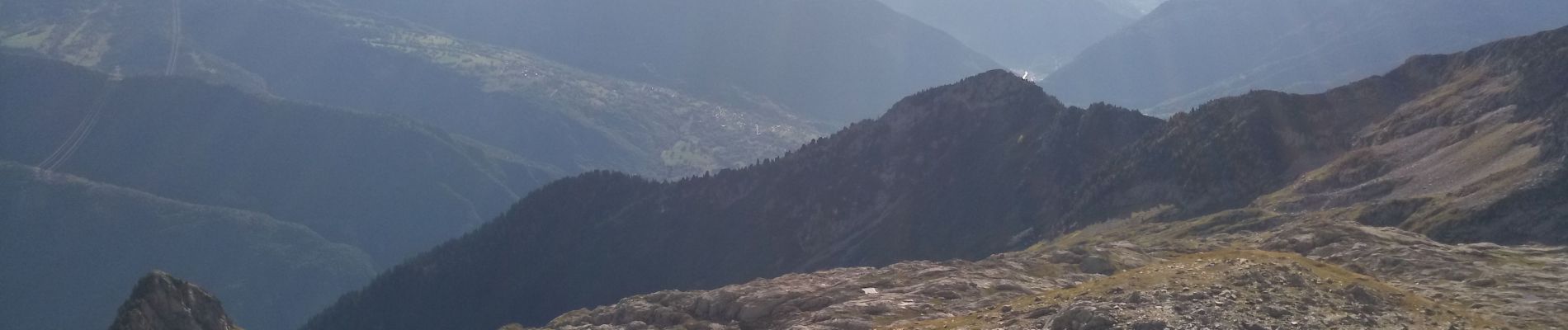
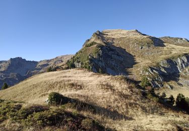
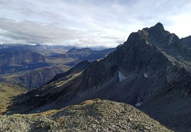
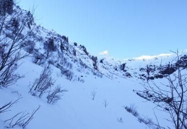
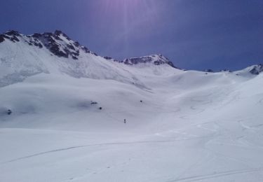
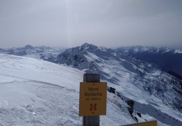
petite variante du Bellachat, en repassant chez les Tarins jusqu'au pas de la mule.
descente ensuite hors sentier : les moutons et les patous étaient encore là, mais sur le refuge de la Perrière.
difficile car assez raide avec des passages un peu aérien, et on sent bien passer la remontée du pas de la mule ;-)


Senderismo
Senderismo
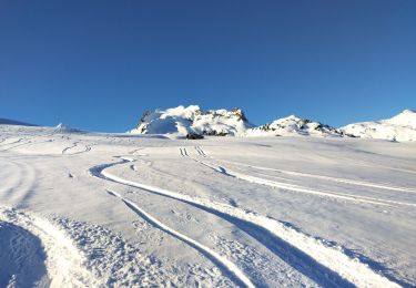
Esquí de fondo
Esquí de fondo
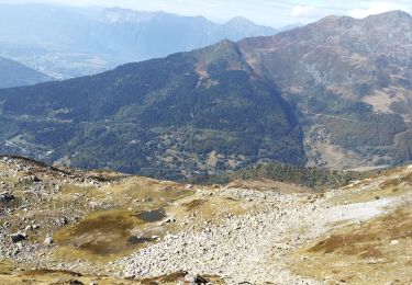
Senderismo
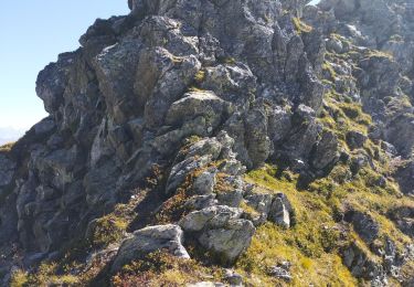
Senderismo
Esquí de fondo
Esquí de fondo
Esquí de fondo