


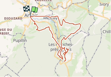

16,2 km | 22 km-effort


Usuario


Aplicación GPS de excursión GRATIS
 SityTrail
IGN / Institutos geográficos
SityTrail World
El mundo es suyo
Ruta Senderismo de 23 km a descubrir en Borgoña-Franco Condado, Jura, Arbois. Esta ruta ha sido propuesta por thierry cachot.
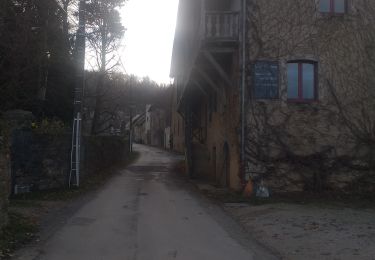
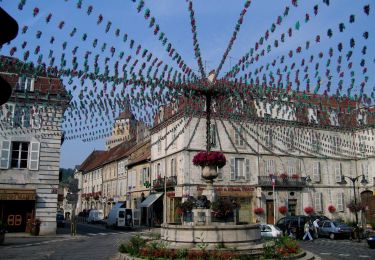
Départ de l'église Saint Just ou l'office tourisme
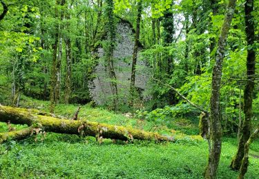
Balede en forêt une bonne partie du temps.
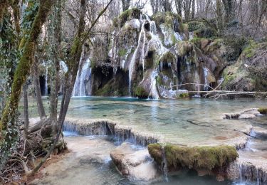
Coin sympa vers la cascade des Tufs et la petite source de Cuisanse.
Beaux panoramas depuis le Belvédère du Fer à Cheval mais surtout du Belvédère de la Châtelaine.
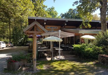
Fontaine avec eau fraîche et table de pique nique dans le village Les Planches près d'Arbois


Senderismo
Senderismo
Senderismo
Senderismo
Senderismo
Senderismo
Senderismo

Paseo ecuestre
A pie
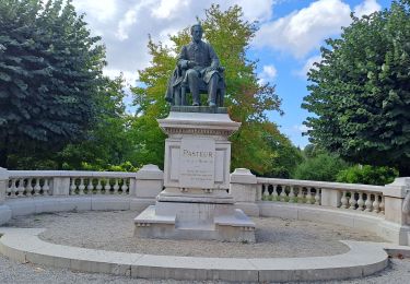
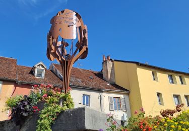
Très sympa !