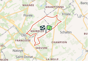


6,8 km | 8,7 km-effort


Usuario


Aplicación GPS de excursión GRATIS
 SityTrail
IGN / Institutos geográficos
SityTrail World
El mundo es suyo
Ruta Paseo ecuestre de 11,4 km a descubrir en Valonia, Namur, Hamois. Esta ruta ha sido propuesta por eddyvermeulen1.
Wandeling doen bij droge ondergrond of pad blijven volgen in plaats van braakland.
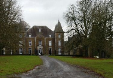
Parking=bij vlinderboom: tweede afslag van grote baan bij bruine wegwijzen maibelle.
(dus niet skeuvre zelf volgen)

Senderismo

Senderismo

Senderismo
A pie
Senderismo
Senderismo
Senderismo
Senderismo