


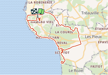

23 km | 28 km-effort


Usuario GUIDE


Aplicación GPS de excursión GRATIS
 SityTrail
IGN / Institutos geográficos
SityTrail World
El mundo es suyo
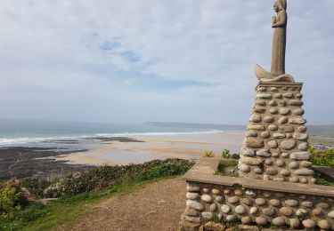
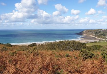
Ruta Senderismo de 22 km a descubrir en Normandía, Mancha, Flamanville. Esta ruta ha sido propuesta por chessyca.
Un trajet pouvant etre optimisé en longeant le grp aux abords de Flamanville par les terres mais quelques km a rajouter

Senderismo
Senderismo
Senderismo
Senderismo

Bici de montaña

Bici de montaña

Carrera
Senderismo
Senderismo