


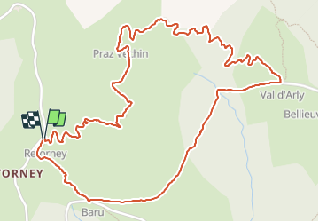

9,1 km | 24 km-effort


Usuario


Aplicación GPS de excursión GRATIS
 SityTrail
IGN / Institutos geográficos
SityTrail World
El mundo es suyo
Ruta Senderismo de 3,6 km a descubrir en Auvergne-Rhône-Alpes, Saboya, Ugine. Esta ruta ha sido propuesta por christian4.
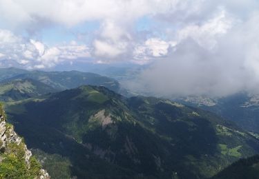
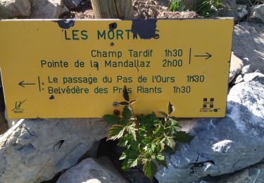
belle petite boucle avec une magnifique vue a 360° et un super panorama sur le mont blanc.
Framboise et Myrtille tout au long du Sentier.
bonne balade 😊
Esquí de fondo

Senderismo

Senderismo
Senderismo
Senderismo
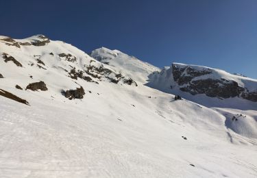
Raquetas de nieve
Senderismo
Vía ferrata
Senderismo