


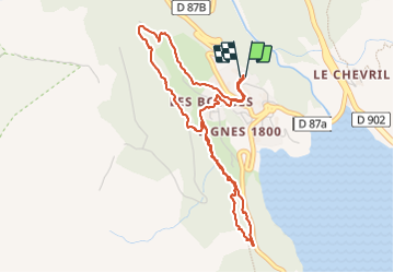

13,8 km | 23 km-effort

Usuario


Aplicación GPS de excursión GRATIS
 SityTrail
IGN / Institutos geográficos
SityTrail World
El mundo es suyo
Ruta Senderismo de 4,8 km a descubrir en Auvergne-Rhône-Alpes, Saboya, Tignes. Esta ruta ha sido propuesta por Didier-114.
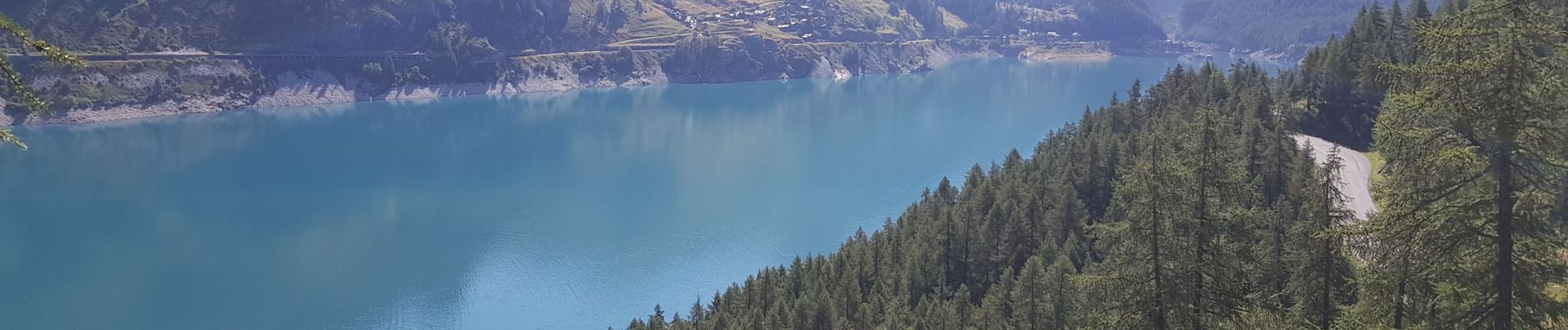
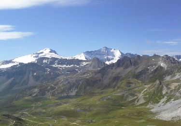
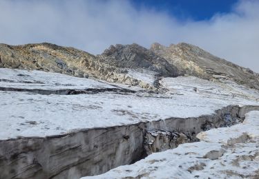
petite balade sympa avec quelque beau point de vue
fait avec une personne ayant des problèmes de chevilles
sur le retour un peu compliqué sur 30m


Senderismo
Senderismo

Senderismo

Senderismo

Otra actividad

Senderismo

Senderismo

Senderismo
Senderismo