


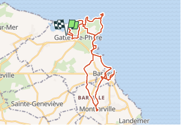

14,3 km | 15,1 km-effort


Usuario GUIDE


Aplicación GPS de excursión GRATIS
 SityTrail
IGN / Institutos geográficos
SityTrail World
El mundo es suyo
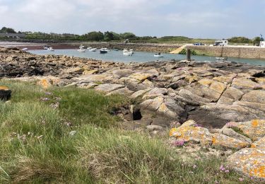
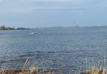
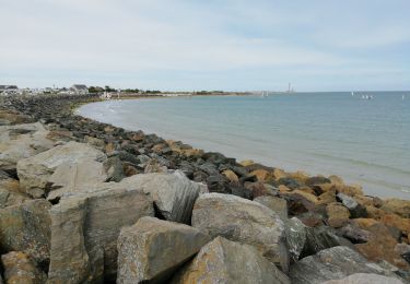
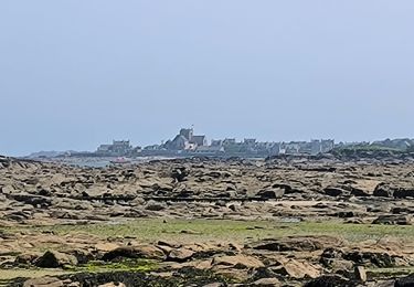
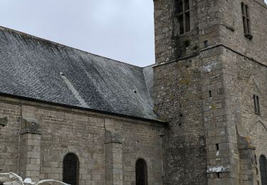
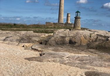
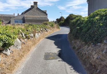
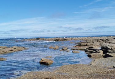
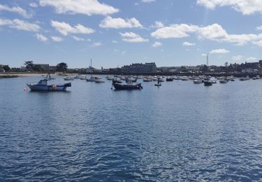
Ruta Senderismo de 23 km a descubrir en Normandía, Mancha, Gatteville-le-Phare. Esta ruta ha sido propuesta por chessyca.
Visite du phrare avec montée des 365 marches et de la spectaculaire église de Montfarville
Senderismo
Senderismo
Senderismo
Senderismo
Senderismo
Senderismo
Bici de carretera
Bici de carretera
Bici de carretera