


9,2 km | 23 km-effort

Usuario


Aplicación GPS de excursión GRATIS
 SityTrail
IGN / Institutos geográficos
SityTrail World
El mundo es suyo
Ruta Senderismo de 9,7 km a descubrir en Desconocido, Desconocido, Bovec. Esta ruta ha sido propuesta por Ko-Rando.
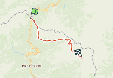
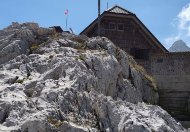
Étape 1: Col de Vršič (1611 m) – Point de vue des filles païennes – Na robu – Plaque de Zadnje – Sedlo Planja (2349) – Pogačnikov dom na Kriških podih (2050 m)
Distance: 9 km
Temps nécessaire: 6:30 heures
Dénivelé positif : 1269 m
Perte d’altitude : 855 m
Altitude minimale: 1607 m
Altitude maximale : 2424 m


22 fotos en total. Haga clic en una foto para mostrarlas todas en la galería.
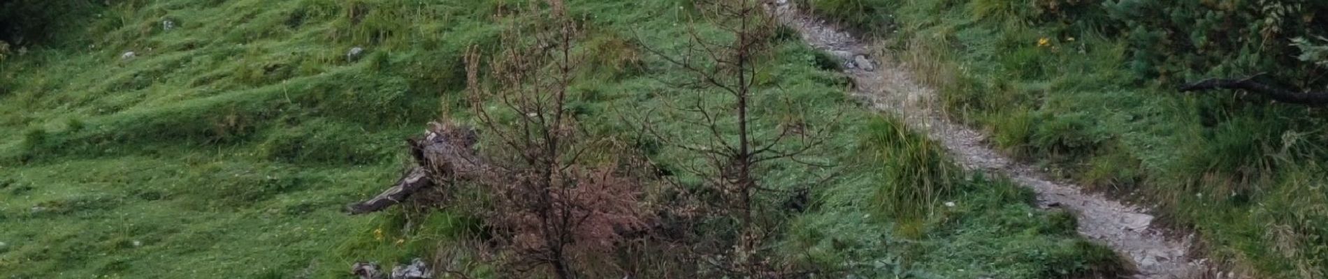
Senderismo

Senderismo
Senderismo
Senderismo
Senderismo
Senderismo
Senderismo
Senderismo
Senderismo