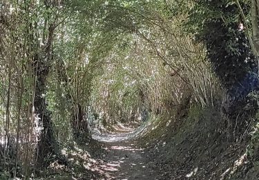
41 km | 54 km-effort
tsn Condé
apijeje
Usuario
Longitud
21 km
Altitud máxima
226 m
Desnivel positivo
578 m
Km-Effort
28 km
Altitud mínima
64 m
Desnivel negativo
554 m
Boucle
No
Fecha de creación :
2023-08-10 07:21:32.226
Última modificación :
2023-08-10 15:32:07.223
8h05
Dificultad : Medio
Aplicación GPS de excursión GRATIS
A propósito
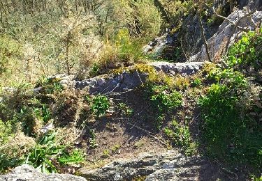
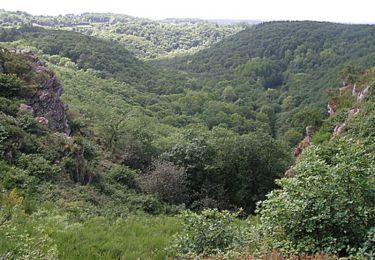
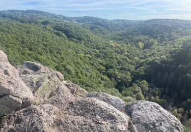
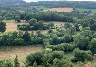
Ruta Senderismo de 21 km a descubrir en Normandía, Orne, Ménil-Hubert-sur-Orne. Esta ruta ha sido propuesta por apijeje.
Localización
País:
France
Región :
Normandía
Departamento/provincia :
Orne
Municipio :
Ménil-Hubert-sur-Orne
Localidad:
Unknown
Salida:(Dec)
Salida:(UTM)
690898 ; 5413215 (30U) N.
Comentarios
Excursiones cerca
La Petite Suisse Normande 2014 - Pont-d'Ouilly
Bici de montaña
Difícil
(1)
Pont-d'Ouilly,
Normandía,
Calvados,
France
3h 30min
Sí
Autour des roches d'oetre
Senderismo
Fácil
(3)
Saint-Philbert-sur-Orne,
Normandía,
Orne,
France
9,7 km | 12,4 km-effort
2h 30min
Sí
Rando botanique - Ségrie Fontaine
Senderismo
Medio
(2)
Athis-Val-de-Rouvre,
Normandía,
Orne,
France
10,4 km | 13,4 km-effort
3h 40min
Sí
Roche d’oëtre sentier du Granite
Senderismo
Muy fácil
Saint-Philbert-sur-Orne,
Normandía,
Orne,
France
10,1 km | 12,7 km-effort
2h 43min
Sí
Circuit des méandres
Senderismo
Medio
Saint-Philbert-sur-Orne,
Normandía,
Orne,
France
6,4 km | 8,4 km-effort
1h 54min
Sí
De Rouvroy aux Roches d'Oetre par le sentier des Méandres
Senderismo
Medio
Ménil-Hubert-sur-Orne,
Normandía,
Orne,
France
7,1 km | 9,3 km-effort
2h 1min
Sí
Les Fontaines
A pie
Fácil
(1)
Athis-Val-de-Rouvre,
Normandía,
Orne,
France
5,7 km | 7,3 km-effort
1h 38min
Sí
Sentier du granite
A pie
Fácil
(1)
Athis-Val-de-Rouvre,
Normandía,
Orne,
France
8,6 km | 11 km-effort
2h 30min
Sí
Entre Orne et Rouvre
A pie
Fácil
Saint-Philbert-sur-Orne,
Normandía,
Orne,
France
7,7 km | 10,3 km-effort
2h 19min
Sí