


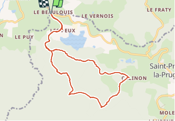


12,5 km | 19,7 km-effort

Usuario GUIDE


Aplicación GPS de excursión GRATIS
 SityTrail
IGN / Institutos geográficos
SityTrail World
El mundo es suyo
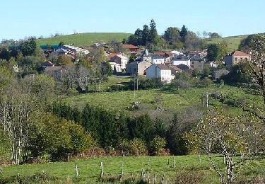
Ruta Senderismo de 10,9 km a descubrir en Auvergne-Rhône-Alpes, Loira, Saint-Priest-la-Prugne. Esta ruta ha sido propuesta por dudu42.
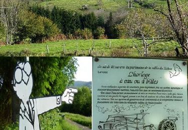
très beau circuit au milieu des bois. Point de vue sur le parcours


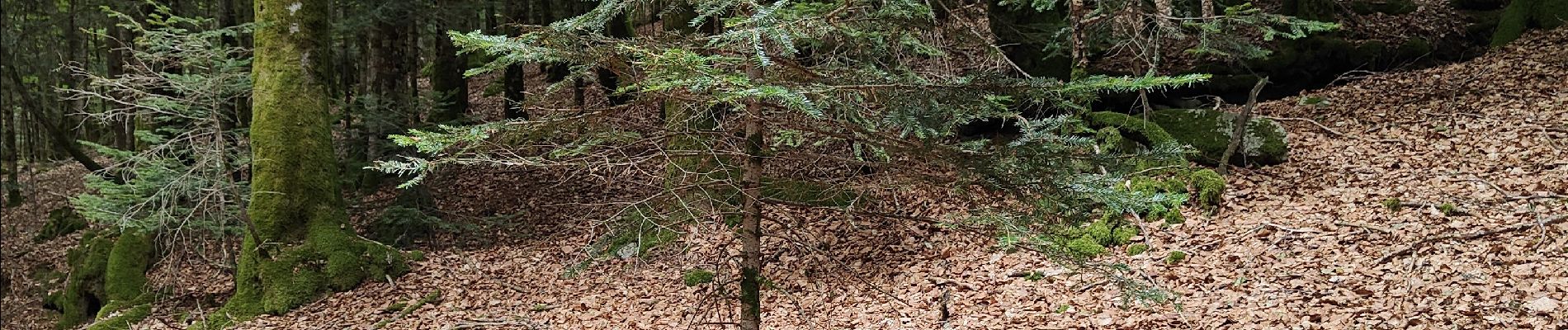
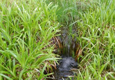
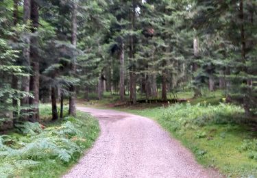
21 fotos en total. Haga clic en una foto para mostrarlas todas en la galería.
A pie
Senderismo
Bici de montaña
Senderismo

Senderismo

Senderismo

Senderismo
Senderismo

Bici de montaña