


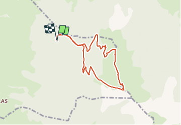

10,3 km | 24 km-effort

Usuario


Aplicación GPS de excursión GRATIS
 SityTrail
IGN / Institutos geográficos
SityTrail World
El mundo es suyo
Ruta Senderismo de 8,3 km a descubrir en Auvergne-Rhône-Alpes, Isère, Mens. Esta ruta ha sido propuesta por cmarit.
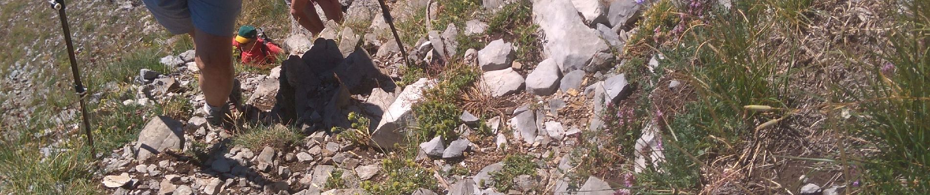
Nous sommes montés jusqu'au "pique-nique", comme ça la balade est plus courte et on reste dans le plaisir plus que dans le "crapahut ", je dis ça vu l'état de mes genoux!
il y a des passages un peu expos, c'est aussi là le plaisir!


Senderismo

Senderismo

Senderismo

Senderismo

Senderismo

Senderismo

Senderismo

Bici eléctrica

Senderismo