![](/images/other/stat-length.png)
![Excursión Senderismo Colmar - TREK ALSACIEN (balade découverte de Colmar) - Photo](https://media.geolcdn.com/t/1900/400/e8ad7e37-631a-4269-a9e6-75a8f9f64336.jpg&format=pjpeg&maxdim=2)
TREK ALSACIEN (balade découverte de Colmar)
Godasses et Grosses Pattes
Usuario
![Longitud](/images/other/stat-length.png)
Longitud
6,4 km
![Altitud máxima](https://static1.geolcdn.com/siteimages/upload/files/1508320355ic_sort_altitude_max_24dp.png)
Altitud máxima
202 m
![Desnivel positivo](https://static1.geolcdn.com/siteimages/upload/files/1508320355ic_sort_den_pos_24dp.png)
Desnivel positivo
44 m
![Km-Effort](/images/other/stat-length.png)
Km-Effort
7 km
![Altitud mínima](https://static1.geolcdn.com/siteimages/upload/files/1508320355ic_sort_altitude_min_24dp.png)
Altitud mínima
188 m
![Desnivel negativo](https://static1.geolcdn.com/siteimages/upload/files/1508320355ic_sort_den_neg_24dp.png)
Desnivel negativo
43 m
![Boucle](https://static1.geolcdn.com/siteimages/upload/files/16400158638029165_repeat_loop_refresh_sync_direction_icon.png)
Boucle
Sí
Fecha de creación :
2023-07-17 12:36:20.569
Última modificación :
2024-09-21 17:50:02.37
![Senderismo](https://static1.geolcdn.com/sitytour/trail-icons/101.png)
2h50
Dificultad : Muy fácil
![Escanee este código QR para abrir la excursión en la aplicación SityTrail](https://capi.geolives.com/qq0zvz2zws4bq2lad0pu/sitytour/trails/3753322/qr.png?size=200)
Aplicación GPS de excursión GRATIS
A propósito
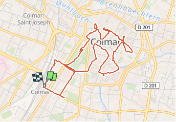
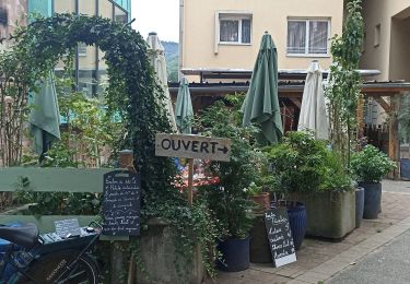
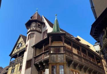
Ruta Senderismo de 6,4 km a descubrir en Gran Este, Alto Rin, Colmar. Esta ruta ha sido propuesta por Godasses et Grosses Pattes.
Descripción
boucle pour découvrir Colmar
et stationnement au parking de la gare du nord (payant du lundi au samedi de 9h-19h 1,90 de l'heure)
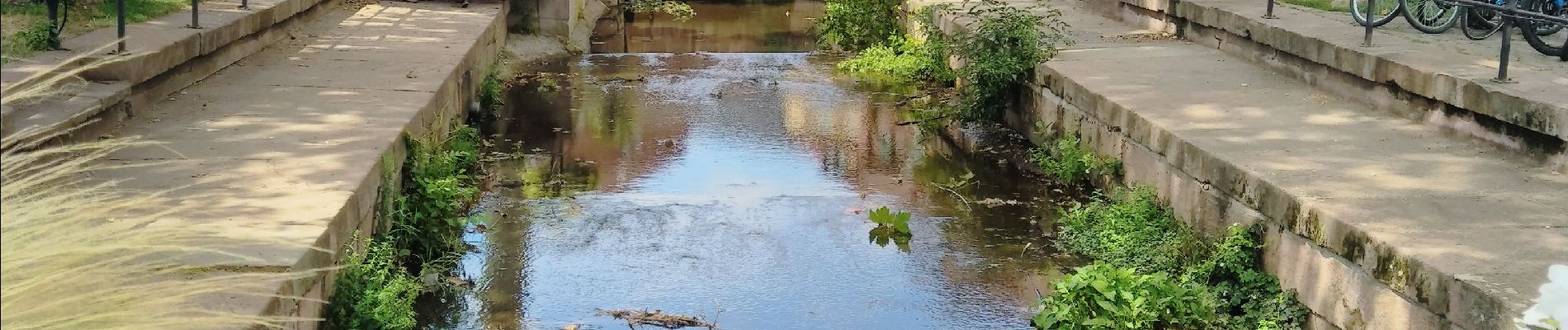
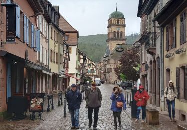
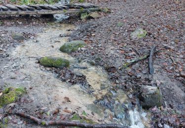
Localización
País:
France
Región :
Gran Este
Departamento/provincia :
Alto Rin
Municipio :
Colmar
Localidad:
Unknown
Salida:(Dec)
Salida:(UTM)
376893 ; 5325667 (32U) N.
Comentarios
Excursiones cerca
![Excursión Senderismo Eguisheim - suuntoapp-Hiking-2023-12-29T09-05-16Z - Photo](https://media.geolcdn.com/t/375/260/dcbc603a-6326-4148-957e-2ff1d984719d.jpg&format=jpg&maxdim=2)
![Senderismo Senderismo](https://static1.geolcdn.com/sitytour/trail-icons/101.png)
suuntoapp-Hiking-2023-12-29T09-05-16Z
Senderismo
Medio
Eguisheim,
Gran Este,
Alto Rin,
France
![](/images/other/stat-length.png)
22 km | 32 km-effort
7h 16min
![](https://static1.geolcdn.com/siteimages/upload/files/16400158638029165_repeat_loop_refresh_sync_direction_icon.png)
Sí
![Excursión Carrera Colmar - Covid-19 - A la recherche du cercle parfait - Photo](https://media.geolcdn.com/t/375/260/ext.jpg?maxdim=2&url=https%3A%2F%2Fstatic1.geolcdn.com%2Fsiteimages%2Fupload%2Ffiles%2F1524743154running.jpg)
![Carrera Carrera](https://static1.geolcdn.com/sitytour/trail-icons/103.png)
Covid-19 - A la recherche du cercle parfait
Carrera
Muy fácil
(1)
Colmar,
Gran Este,
Alto Rin,
France
![](/images/other/stat-length.png)
11,2 km | 11,9 km-effort
1h 0min
![](https://static1.geolcdn.com/siteimages/upload/files/16400158638029165_repeat_loop_refresh_sync_direction_icon.png)
Sí
![Excursión Senderismo Colmar - grand tour de Colmar - Photo](https://media.geolcdn.com/t/375/260/ext.jpg?maxdim=2&url=https%3A%2F%2Fstatic1.geolcdn.com%2Fsiteimages%2Fupload%2Ffiles%2F1553511878bg_sport_marche.png)
![Senderismo Senderismo](https://static1.geolcdn.com/sitytour/trail-icons/101.png)
grand tour de Colmar
Senderismo
Muy fácil
(1)
Colmar,
Gran Este,
Alto Rin,
France
![](/images/other/stat-length.png)
4,7 km | 5,1 km-effort
1h 22min
![](https://static1.geolcdn.com/siteimages/upload/files/16400158638029165_repeat_loop_refresh_sync_direction_icon.png)
Sí
![Excursión Senderismo Eguisheim - eguishem- vignoble et château - Photo](https://media.geolcdn.com/t/375/260/716e53f7-6c62-4632-b95d-d4dde92fd7e4.jpg&format=jpg&maxdim=2)
![Senderismo Senderismo](https://static1.geolcdn.com/sitytour/trail-icons/101.png)
eguishem- vignoble et château
Senderismo
Medio
Eguisheim,
Gran Este,
Alto Rin,
France
![](/images/other/stat-length.png)
9,3 km | 13 km-effort
2h 34min
![](https://static1.geolcdn.com/siteimages/upload/files/16400158638029165_repeat_loop_refresh_sync_direction_icon.png)
Sí
![Excursión Senderismo Eguisheim - SityTrail - 2709807 - eguisheim-husseren-les-chateux- - Photo](https://media.geolcdn.com/t/375/260/ext.jpg?maxdim=2&url=https%3A%2F%2Fstatic1.geolcdn.com%2Fsiteimages%2Fupload%2Ffiles%2F1553511878bg_sport_marche.png)
![Senderismo Senderismo](https://static1.geolcdn.com/sitytour/trail-icons/101.png)
SityTrail - 2709807 - eguisheim-husseren-les-chateux-
Senderismo
Medio
(1)
Eguisheim,
Gran Este,
Alto Rin,
France
![](/images/other/stat-length.png)
8,4 km | 11,5 km-effort
2h 37min
![](https://static1.geolcdn.com/siteimages/upload/files/16400158638029165_repeat_loop_refresh_sync_direction_icon.png)
Sí
![Excursión Senderismo Katzenthal - Katzenthal - Photo](https://media.geolcdn.com/t/375/260/cfd157b8-7003-4f6d-91be-da1f172f30db.jpg&format=jpg&maxdim=2)
![Senderismo Senderismo](https://static1.geolcdn.com/sitytour/trail-icons/101.png)
Katzenthal
Senderismo
Difícil
Katzenthal,
Gran Este,
Alto Rin,
France
![](/images/other/stat-length.png)
16,4 km | 25 km-effort
5h 40min
![](https://static1.geolcdn.com/siteimages/upload/files/16400158638029165_repeat_loop_refresh_sync_direction_icon.png)
Sí
![Excursión Senderismo Husseren-les-Châteaux - Husseren les Châteaux - Photo](https://media.geolcdn.com/t/375/260/fbdaec15-f3be-4264-9cbd-289a37b2f125.jpg&format=jpg&maxdim=2)
![Senderismo Senderismo](https://static1.geolcdn.com/sitytour/trail-icons/101.png)
Husseren les Châteaux
Senderismo
Fácil
Husseren-les-Châteaux,
Gran Este,
Alto Rin,
France
![](/images/other/stat-length.png)
12,7 km | 19,1 km-effort
3h 24min
![](https://static1.geolcdn.com/siteimages/upload/files/16400158638029165_repeat_loop_refresh_sync_direction_icon.png)
Sí
![Excursión Bici de carretera Turckheim - Véloroute du vignoble - Photo](https://media.geolcdn.com/t/375/260/9263e08a-0b4f-48c2-a8aa-77b96268d9df.jpg&format=jpg&maxdim=2)
![Bici de carretera Bici de carretera](https://static1.geolcdn.com/sitytour/trail-icons/201.png)
Véloroute du vignoble
Bici de carretera
Medio
Turckheim,
Gran Este,
Alto Rin,
France
![](/images/other/stat-length.png)
55 km | 61 km-effort
3h 31min
![](https://static1.geolcdn.com/siteimages/upload/files/16400158638029165_repeat_loop_refresh_sync_direction_icon.png)
No
![Excursión Senderismo Colmar - Colmar petite Venise - Photo](https://media.geolcdn.com/t/375/260/cb1a55ed-d7ca-476a-8a88-d48c10da04cb.jpg&format=jpg&maxdim=2)
![Senderismo Senderismo](https://static1.geolcdn.com/sitytour/trail-icons/101.png)
Colmar petite Venise
Senderismo
Colmar,
Gran Este,
Alto Rin,
France
![](/images/other/stat-length.png)
9,3 km | 10,1 km-effort
3h 16min
![](https://static1.geolcdn.com/siteimages/upload/files/16400158638029165_repeat_loop_refresh_sync_direction_icon.png)
Sí