


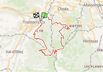

5,1 km | 9,8 km-effort

Parcours Randos, VTT-AE et Trail Running en été


Aplicación GPS de excursión GRATIS
 SityTrail
IGN / Institutos geográficos
SityTrail World
El mundo es suyo
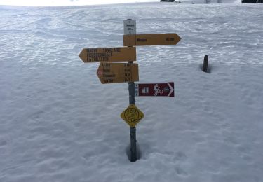
Ruta Ruta de 19 km a descubrir en Vallés, Monthey, Troistorrents. Esta ruta ha sido propuesta por Les Portes du Soleil.

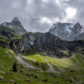
Senderismo

Senderismo
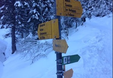
Raquetas de nieve

Senderismo
Senderismo
Senderismo
Senderismo
Senderismo
Raquetas de nieve