


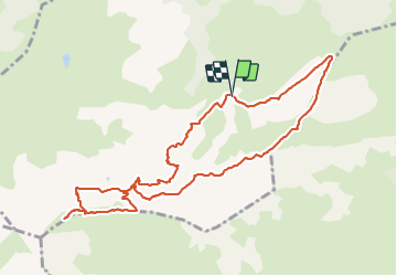


18,1 km | 34 km-effort

Usuario


Aplicación GPS de excursión GRATIS
 SityTrail
IGN / Institutos geográficos
SityTrail World
El mundo es suyo
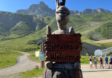
Ruta Senderismo de 10,9 km a descubrir en Auvergne-Rhône-Alpes, Saboya, Les Avanchers-Valmorel. Esta ruta ha sido propuesta por dautriche.
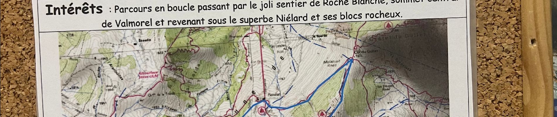
Parcours en boucle par le joli sentier de la Roche Blanche, sommet central de Valmorel et revenant sous le superbe Niélard et ses blocs rocheux.


23 fotos en total. Haga clic en una foto para mostrarlas todas en la galería.

Senderismo

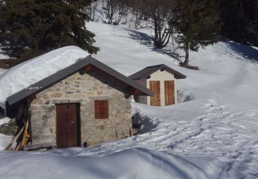
Esquí de fondo

Esquí de fondo
Esquí de fondo
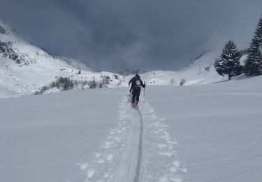
Esquí de fondo
Esquí de fondo
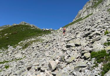
Senderismo
Senderismo
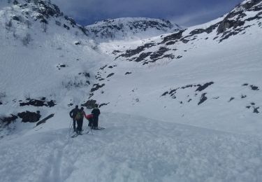
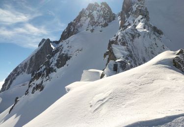
Raquetas de nieve