


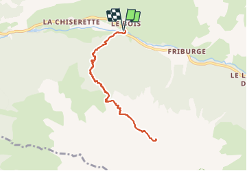

24 km | 44 km-effort


Usuario


Aplicación GPS de excursión GRATIS
 SityTrail
IGN / Institutos geográficos
SityTrail World
El mundo es suyo
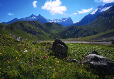
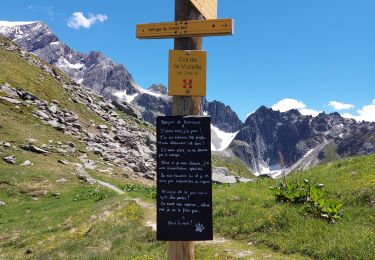
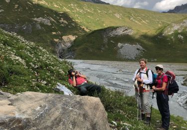
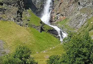
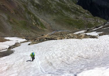
Ruta Senderismo de 9,1 km a descubrir en Auvergne-Rhône-Alpes, Saboya, Champagny-en-Vanoise. Esta ruta ha sido propuesta por Annie21.
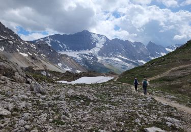
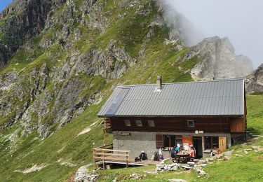
Depuis Champagny le bas. Refuge sympa, et accueillant. Il faut monter encore un peu pour avoir une superbe vue. Rando en A/R.
Senderismo
Senderismo
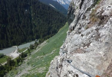
Vía ferrata
Senderismo
Senderismo
Senderismo
Senderismo
Senderismo
Senderismo