


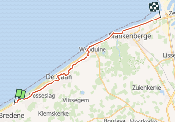

24 km | 26 km-effort


RCM ... l'esprit rando à vélo et à pied !


Aplicación GPS de excursión GRATIS
 SityTrail
IGN / Institutos geográficos
SityTrail World
El mundo es suyo
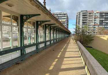
Ruta Senderismo de 20 km a descubrir en Flandes, Flandes Occidental, Bredene. Esta ruta ha sido propuesta por Randonneur Club Marcquois.
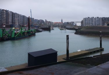
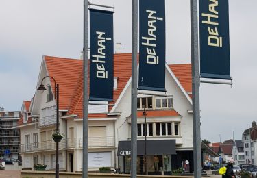
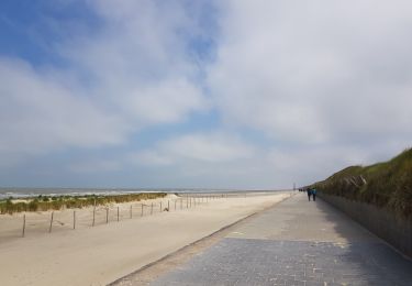
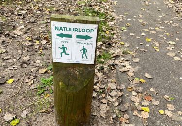
Bord de mer mais pas sur le sable ... de Bredene à Zeebrugge et retour aux véhicules par le tram côtier.
Senderismo
Senderismo
Senderismo
Senderismo
A pie
A pie
A pie

Senderismo
Senderismo