


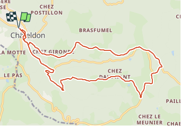

8,5 km | 12,6 km-effort

Usuario GUIDE


Aplicación GPS de excursión GRATIS
 SityTrail
IGN / Institutos geográficos
SityTrail World
El mundo es suyo
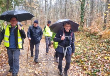
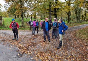
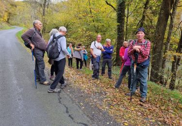
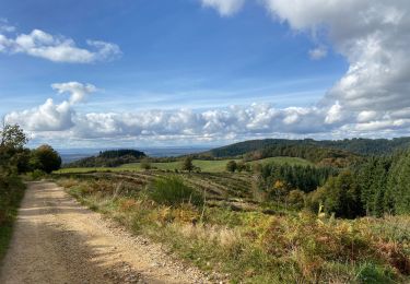
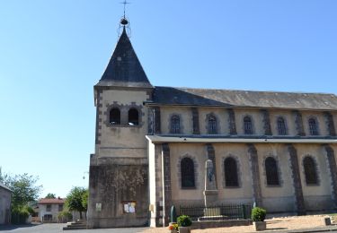
Ruta Senderismo de 11,7 km a descubrir en Auvergne-Rhône-Alpes, Puy-de-Dôme, Châteldon. Esta ruta ha sido propuesta por jagarnier.
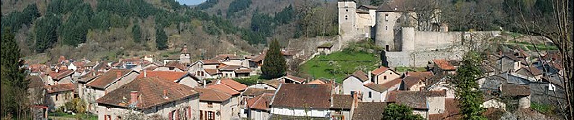
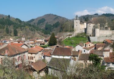
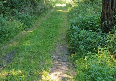
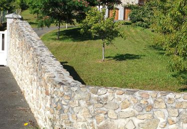
Circuit au départ de Châteldon, village comportant quelques belles maisons médiévales. Vous randonnerez sur les contreforts Nord du Livradois, appelés les Bois Noirs.

A pie
Senderismo
Senderismo
Senderismo
Senderismo
Senderismo
Senderismo
Senderismo
Senderismo