


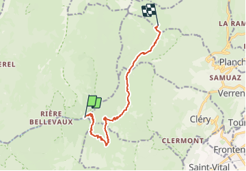

13,1 km | 24 km-effort

Usuario GUIDE


Aplicación GPS de excursión GRATIS
 SityTrail
IGN / Institutos geográficos
SityTrail World
El mundo es suyo
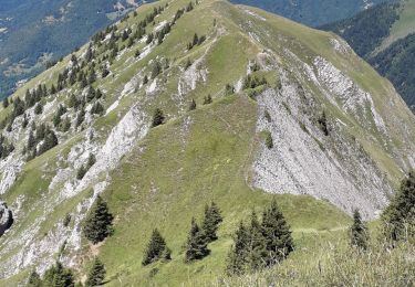
Ruta Senderismo de 11,3 km a descubrir en Auvergne-Rhône-Alpes, Saboya, Jarsy. Esta ruta ha sido propuesta por nadd73.
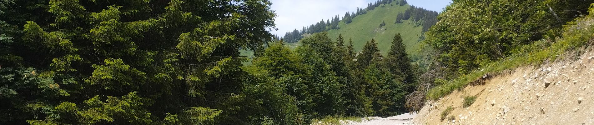
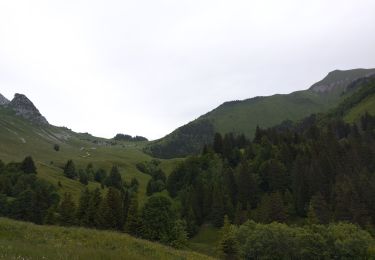
j'ai choisi cet itinéraire assez long mais avec un sac lourd j'ai préféré.
Bivouac vers le chalet de Drison
Attention 4patous


Senderismo
Senderismo

Senderismo

Paseo ecuestre

Senderismo

Senderismo

Senderismo
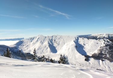
Esquí de fondo
Senderismo