


52 km | 67 km-effort

Usuario


Aplicación GPS de excursión GRATIS
 SityTrail
IGN / Institutos geográficos
SityTrail World
El mundo es suyo
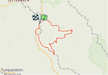
Ruta A pie de 12,5 km a descubrir en Gran Este, Mosela, Saint-Quirin. Esta ruta ha sido propuesta por Mich&Agnès.
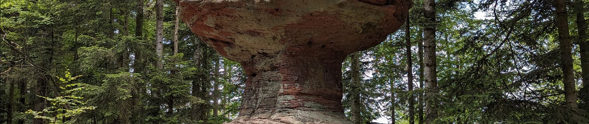
Balade sympathique qui démarre le long de la Sarre rouge, puis monte dans la forêt vers le Canceley et redescend pour traverser le ruisseau de la vallée d'Abreschwiller (bon endroit pour la pause les pieds dans l'eau fraîche). On repart vers le Rommelstein (belle montée surtout après manger :( ) . Enfin nous finissons cette randonnée quasiment entièrement ombragée par le rocher surprenant du Calice pour replonger au départ (là les jambes en prennent un coup)


Bicicleta

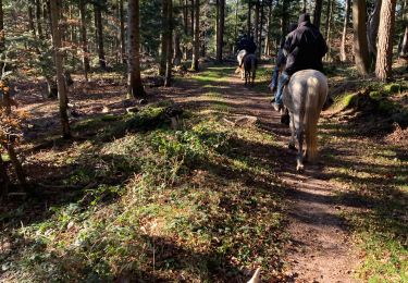
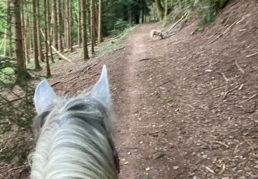
Paseo ecuestre

Bici de montaña
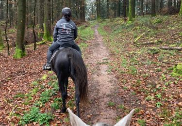
Paseo ecuestre
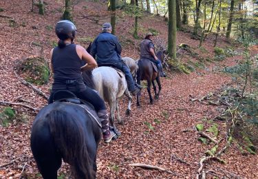
Paseo ecuestre
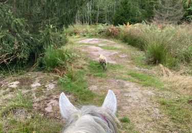
Paseo ecuestre
Paseo ecuestre
Paseo ecuestre
Paseo ecuestre