


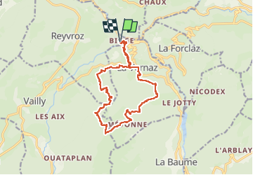

16,8 km | 29 km-effort

Usuario


Aplicación GPS de excursión GRATIS
 SityTrail
IGN / Institutos geográficos
SityTrail World
El mundo es suyo
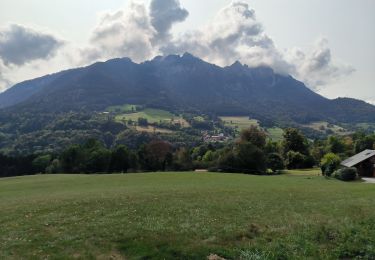
Ruta Senderismo de 17,1 km a descubrir en Auvergne-Rhône-Alpes, Alta Saboya, Reyvroz. Esta ruta ha sido propuesta por reneperrin.
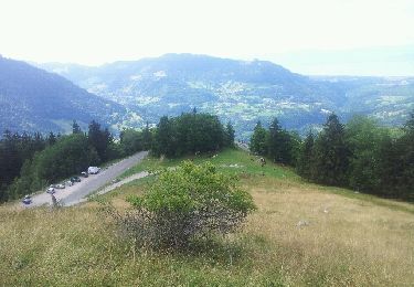
randonnée en boucle
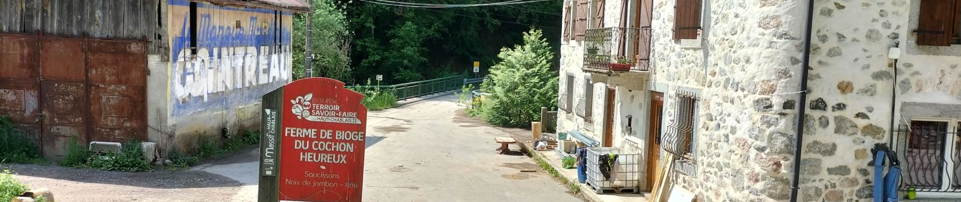
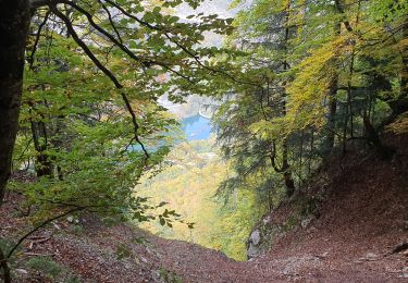
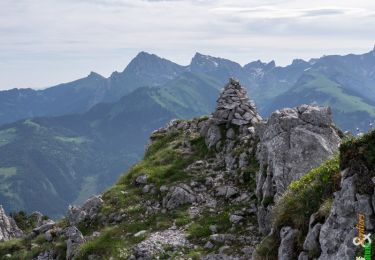
quelques passages raides et engagés au pied des rochers de la garde


Senderismo
Senderismo
Senderismo
Senderismo
Senderismo
Senderismo

Bici de montaña
Bici eléctrica
Bici de montaña