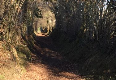
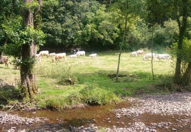
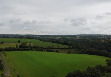
12,6 km | 15,9 km-effort
Saint Pierre Tarentaine
cecirealain
Usuario
Longitud
9,8 km
Altitud máxima
205 m
Desnivel positivo
222 m
Km-Effort
12,7 km
Altitud mínima
136 m
Desnivel negativo
222 m
Boucle
Sí
Fecha de creación :
2023-05-24 08:36:28.99
Última modificación :
2023-05-24 08:37:14.92
2h53
Dificultad : Difícil
Aplicación GPS de excursión GRATIS
A propósito
Ruta Senderismo de 9,8 km a descubrir en Normandía, Calvados, Souleuvre-en-Bocage. Esta ruta ha sido propuesta por cecirealain.
Localización
País:
France
Región :
Normandía
Departamento/provincia :
Calvados
Municipio :
Souleuvre-en-Bocage
Localidad:
Saint-Pierre-Tarentaine
Salida:(Dec)
Salida:(UTM)
661511 ; 5425821 (30U) N.
Comentarios
Excursiones cerca
rando de la souleuvre
Bici de montaña
Medio
(1)
Souleuvre-en-Bocage,
Normandía,
Calvados,
France
25 km | 32 km-effort
2h 7min
Sí
SAINT PIERRE TARENTAINE
Senderismo
Muy difícil
(1)
Souleuvre-en-Bocage,
Normandía,
Calvados,
France
19,7 km | 26 km-effort
5h 47min
Sí
Montchauvet Calvados
Senderismo
Fácil
Souleuvre-en-Bocage,
Normandía,
Calvados,
France
18,2 km | 22 km-effort
5h 37min
Sí
Première
Moto
Fácil
Souleuvre-en-Bocage,
Normandía,
Calvados,
France
39 km | 50 km-effort
2h 4min
No
Rando Viaduc de la souleuvre
Senderismo
Fácil
Souleuvre-en-Bocage,
Normandía,
Calvados,
France
9,6 km | 12,2 km-effort
3h 2min
No
carville
Senderismo
Fácil
Souleuvre-en-Bocage,
Normandía,
Calvados,
France
7,7 km | 9,8 km-effort
1h 49min
Sí
Vélomaritime_Cherbourg_Caen_#J6_20210710_Le_Bény-Bocage_-_Baron-sur-Odon
Cicloturismo
Muy fácil
Souleuvre-en-Bocage,
Normandía,
Calvados,
France
64 km | 75 km-effort
Desconocido
No
le beny bocage
Senderismo
Muy fácil
Souleuvre-en-Bocage,
Normandía,
Calvados,
France
3,6 km | 5,2 km-effort
2h 2min
No