


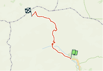

14,5 km | 28 km-effort


Usuario


Aplicación GPS de excursión GRATIS
 SityTrail
IGN / Institutos geográficos
SityTrail World
El mundo es suyo
Ruta Esquí de fondo de 10 km a descubrir en Provenza-Alpes-Costa Azul, Altos Alpes, Vallouise-Pelvoux. Esta ruta ha sido propuesta por loicthev.
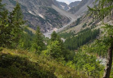
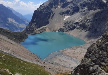
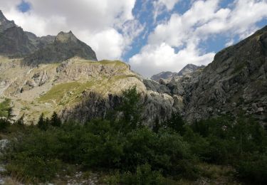
J1 : Pré de Madame Carle > Refuge des Écrins
27/04/2023
Alexandre Guillaume
Senderismo

Senderismo
Senderismo
Senderismo
Senderismo
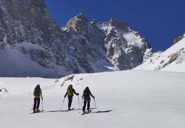
Esquí de fondo
Senderismo
Senderismo
Senderismo