


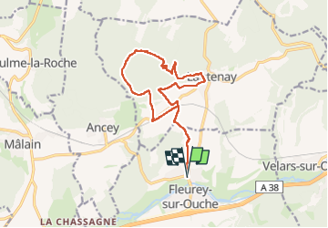


11,4 km | 16 km-effort

Usuario


Aplicación GPS de excursión GRATIS
 SityTrail
IGN / Institutos geográficos
SityTrail World
El mundo es suyo
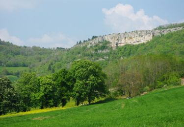
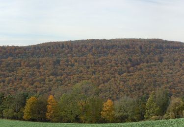
Ruta Senderismo de 14,4 km a descubrir en Borgoña-Franco Condado, Côte-d'Or, Fleurey-sur-Ouche. Esta ruta ha sido propuesta por eric.guyard21.
Belle randonnée, difficulté vers la grotte où là attention escalade


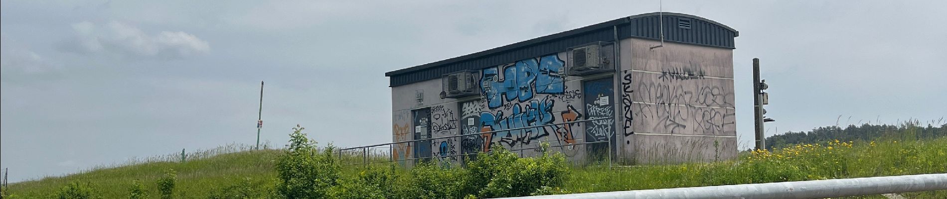
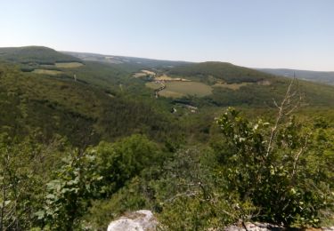
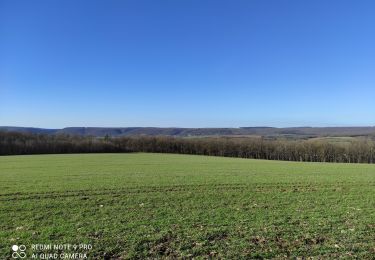
25 fotos en total. Haga clic en una foto para mostrarlas todas en la galería.
Senderismo
Senderismo

Senderismo

Senderismo
Senderismo

Bici eléctrica
A pie

A pie

A pie