


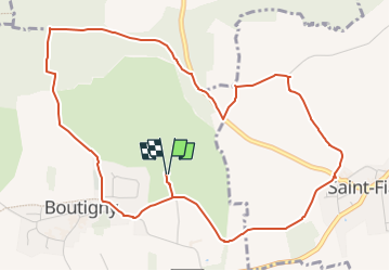

23 km | 26 km-effort


Le mercredi c'est rando


Aplicación GPS de excursión GRATIS
 SityTrail
IGN / Institutos geográficos
SityTrail World
El mundo es suyo
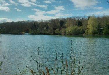
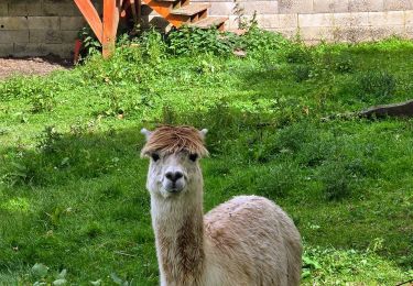
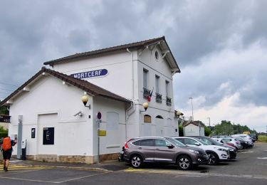
Ruta Senderismo de 5,7 km a descubrir en Isla de Francia, Sena y Marne, Boutigny. Esta ruta ha sido propuesta por Randos du mercredi.
rando après midi
7 Juin 2023
Bici de montaña
Senderismo
Senderismo

Senderismo
Senderismo
Senderismo
Senderismo
Senderismo

Carrera