


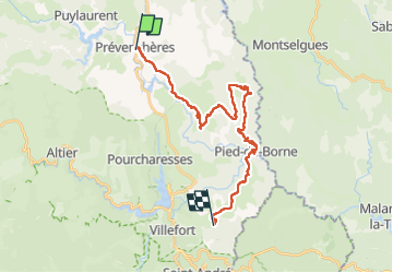


19 km | 30 km-effort

Usuario GUIDE


Aplicación GPS de excursión GRATIS
 SityTrail
IGN / Institutos geográficos
SityTrail World
El mundo es suyo
Ruta Senderismo de 27 km a descubrir en Occitania, Lozère, Prévenchères. Esta ruta ha sido propuesta por nadinebondoux.
étape 2
départ des Balmelles


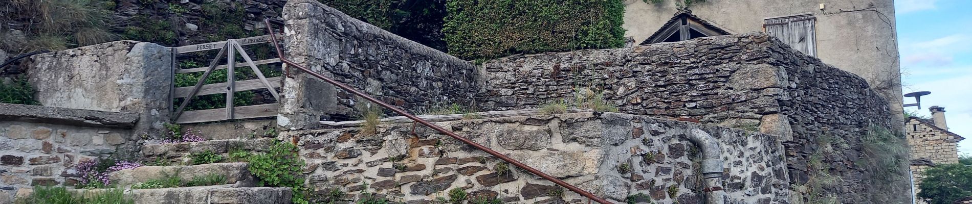
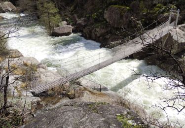
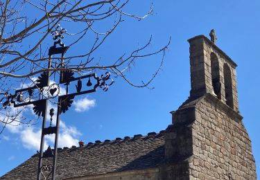
38 fotos en total. Haga clic en una foto para mostrarlas todas en la galería.
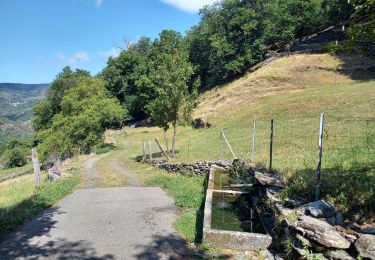
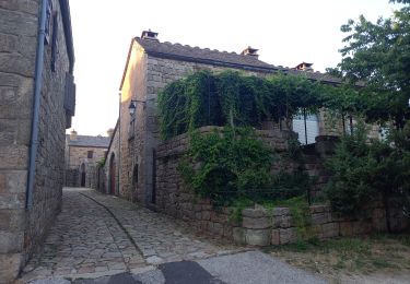
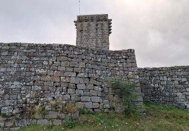
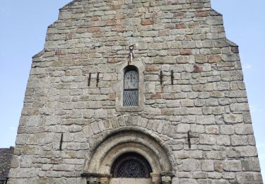
Senderismo
Senderismo
Senderismo
Senderismo

Senderismo

Senderismo
Senderismo
Senderismo

Senderismo