


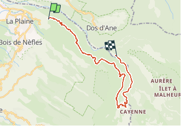

8,3 km | 18,2 km-effort


Usuario


Aplicación GPS de excursión GRATIS
 SityTrail
IGN / Institutos geográficos
SityTrail World
El mundo es suyo
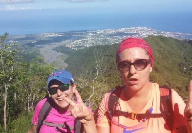
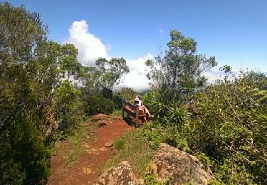
Ruta Senderismo de 19,5 km a descubrir en La Reunión, Desconocido, Saint-Paul. Esta ruta ha sido propuesta por domho974.
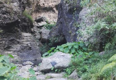
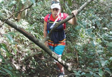
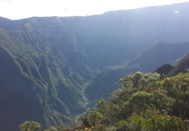
Sans soucis - Deux Bras Départ 8 heures canalisation des orangers. 8h 50 début de la canalisation. 13 h 15 les lataniers. Départ latanier 13 h 40 arrivée deux Bras 15 h 50

Senderismo

Senderismo
Senderismo
Senderismo
Senderismo
Senderismo
Senderismo
Senderismo