


13,2 km | 13,9 km-effort

Usuario


Aplicación GPS de excursión GRATIS
 SityTrail
IGN / Institutos geográficos
SityTrail World
El mundo es suyo
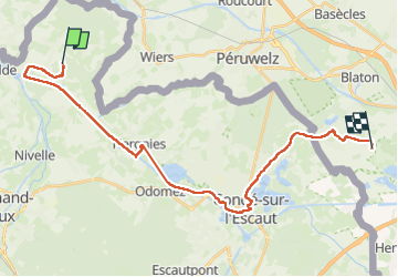
Ruta Senderismo de 26 km a descubrir en Alta Francia, Norte, Flines-lès-Mortagne. Esta ruta ha sido propuesta por jeff2.
Retour en Belgique pour trouver un camping. Les offices de tourisme, ici, en Belgique sont un peu difficile en compréhension de nos demandes.
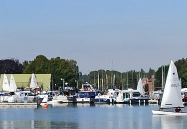
Arrivée à Bernissart, négociation pour obtenir un petit chalet, les tentes sont trempées de la nuit dernière.
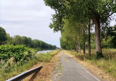
 - Photo 1")
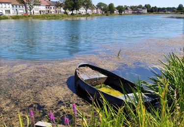
 - Photo 2")
 - Photo 3")
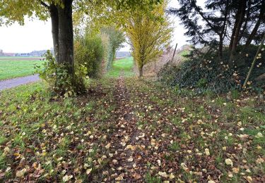
 - Photo 4")

Senderismo
Senderismo
Senderismo
Senderismo
Bici de montaña

A pie

Senderismo
Senderismo
Senderismo