


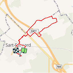


18,3 km | 25 km-effort

Vivez Explore Meuse GUIDE+


Aplicación GPS de excursión GRATIS
 SityTrail
IGN / Institutos geográficos
SityTrail World
El mundo es suyo
Ruta Senderismo de 7,2 km a descubrir en Valonia, Namur, Assesse. Esta ruta ha sido propuesta por Maison du Tourisme Explore Meuse.
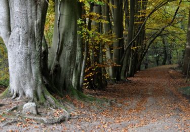
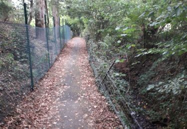
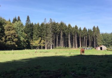
Cette boucle pédestre balisée permet de découvrir deux visages de Sart-Bernard: le centre et Les Sarts, de l'autre côté de l'autoroute.


Senderismo

Senderismo

Senderismo

Senderismo

Senderismo
Senderismo
Senderismo
Senderismo
Senderismo