


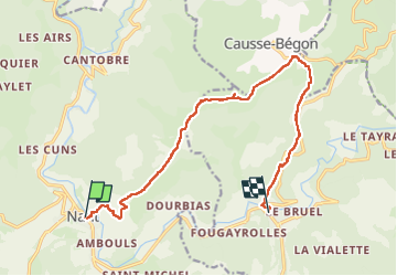


15,3 km | 23 km-effort

Usuario


Aplicación GPS de excursión GRATIS
 SityTrail
IGN / Institutos geográficos
SityTrail World
El mundo es suyo
Ruta Senderismo de 14 km a descubrir en Occitania, Aveyron, Nant. Esta ruta ha sido propuesta por jeff2.
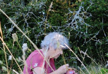
Montée tranquille sous une petite heure de pluie, puis Tombeau du Géant.
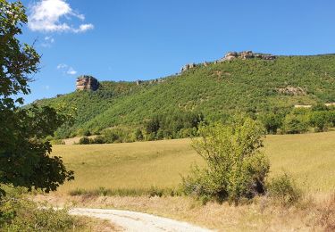
Casse croûte sur le Causse Begon.
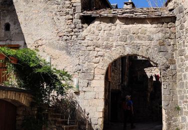
Arrivée à st Jean du Bruel.


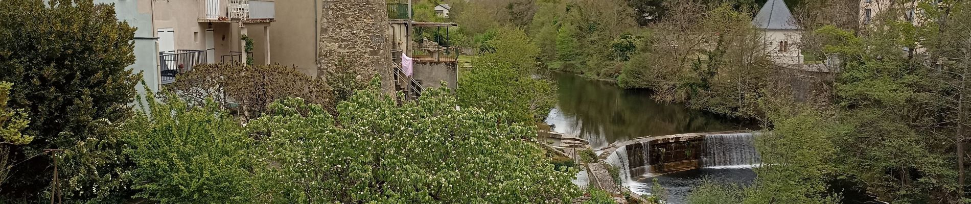
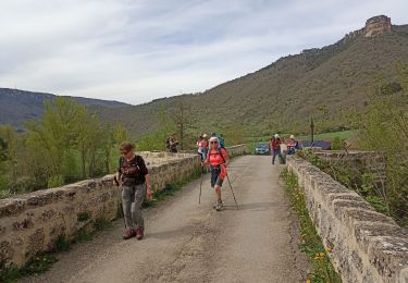
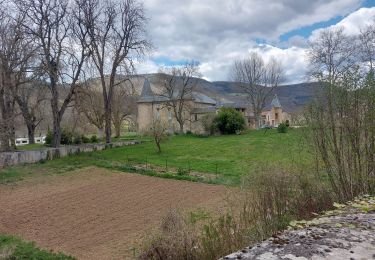
21 fotos en total. Haga clic en una foto para mostrarlas todas en la galería.
Senderismo
Senderismo
Senderismo
Senderismo
Senderismo

Senderismo
Senderismo

Carrera

Senderismo