


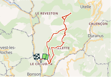

14,6 km | 27 km-effort

Usuario GUIDE


Aplicación GPS de excursión GRATIS
 SityTrail
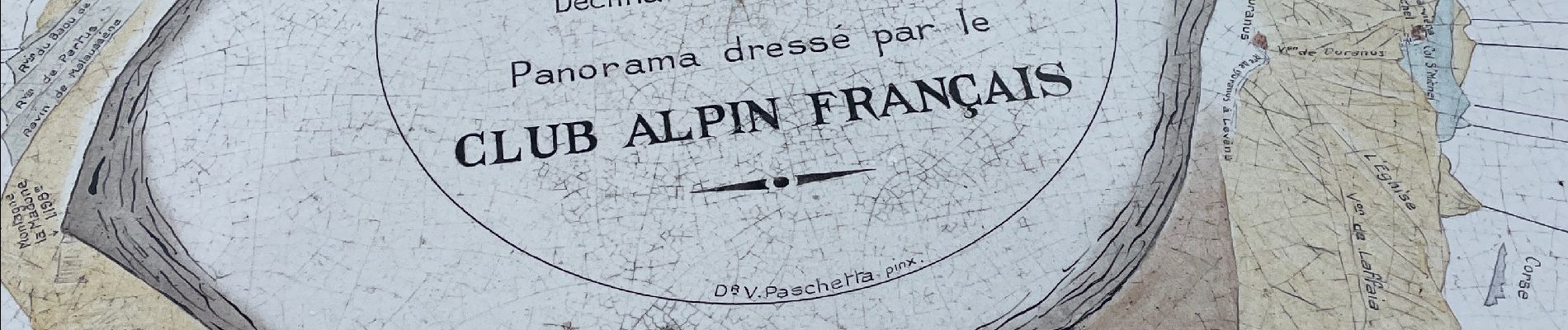
IGN / Institutos geográficos
SityTrail World
El mundo es suyo
Ruta Senderismo de 19,6 km a descubrir en Provenza-Alpes-Costa Azul, Alpes Marítimos, Utelle. Esta ruta ha sido propuesta por jouans.
Chaudan cols de Moutête Ambellarte Madone Utelle les Antennes Ambellarte Vallon Signora La Villette Les Pylônes Le Chaudan
Rando faite le 29/4/2023 Annie TM JJ


A pie

A pie

A pie

Senderismo

Senderismo

Senderismo

Senderismo
Senderismo

Senderismo