


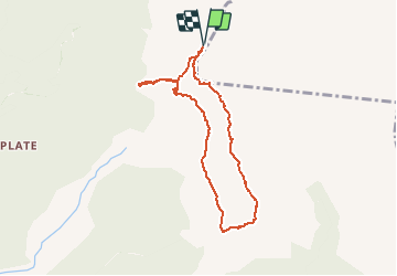

11,4 km | 13,7 km-effort


Usuario


Aplicación GPS de excursión GRATIS
 SityTrail
IGN / Institutos geográficos
SityTrail World
El mundo es suyo
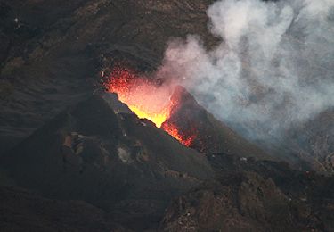
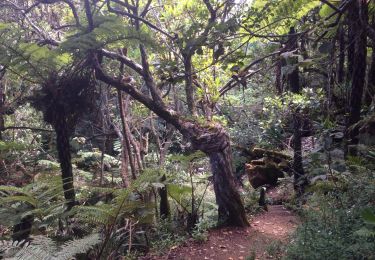
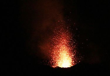
Ruta Senderismo de 9,7 km a descubrir en La Reunión, Desconocido, Saint-Joseph. Esta ruta ha sido propuesta por Fdum.
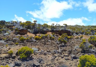
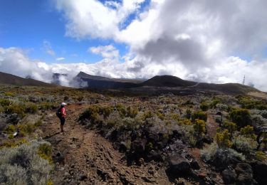
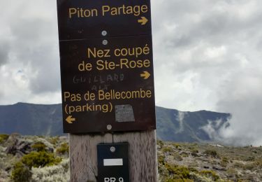
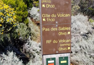
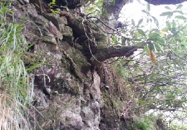
Première partie (Vue sur la plaine des sables) est très bien. Après l'antenne et le retour est fermé et non entretenu...
Otra actividad
Senderismo
Senderismo
Senderismo
Senderismo
Senderismo
Senderismo
Senderismo
Senderismo