


20 km | 25 km-effort

Usuario GUIDE


Aplicación GPS de excursión GRATIS
 SityTrail
IGN / Institutos geográficos
SityTrail World
El mundo es suyo
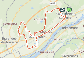
Ruta Senderismo de 22 km a descubrir en Centro, Indre y Loira, Coteaux-sur-Loire. Esta ruta ha sido propuesta por Orcal37.
Saint-Michel-sur-Loire - PR GRP Coteaux de Bourgueil Saint-Patrice - 21.7km 240m 4h45 (35mn) - 2023 04 19
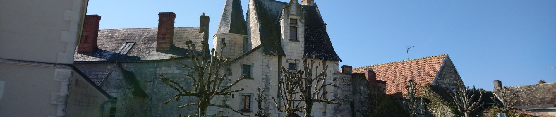
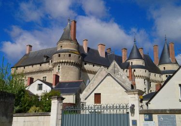
 - 2023 04 19 - Photo 1")
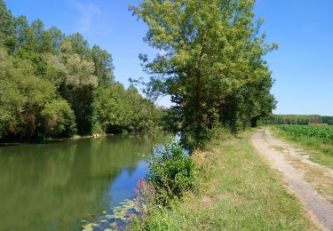
 - 2023 04 19 - Photo 2")
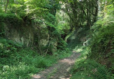
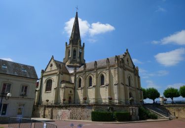
 - 2023 04 19 - Photo 3")
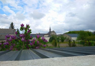
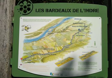
 - 2023 04 19 - Photo 4")
 - 2023 04 19 - Photo 5")
 - 2023 04 19 - Photo 6")

Senderismo
Senderismo
Senderismo
Senderismo
Senderismo
Senderismo
Senderismo

Paseo ecuestre

Bici de carretera