


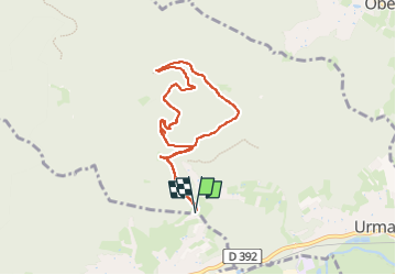

14,9 km | 21 km-effort

Usuario


Aplicación GPS de excursión GRATIS
 SityTrail
IGN / Institutos geográficos
SityTrail World
El mundo es suyo
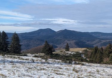
Ruta Senderismo de 6,9 km a descubrir en Gran Este, Bajo-Rin, Urmatt. Esta ruta ha sido propuesta por qlqin.
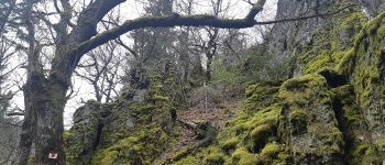
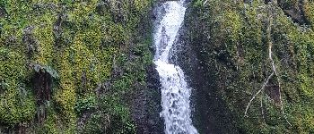
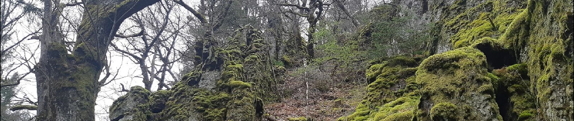
Plutôt facile et ludique, avec de bonnes surprises : Sentier culturel à proximité, point de vue sur l'Alsace, et SURTOUT un petit Montpellier-Le-Vieux à traverser : Splendide, poétique et plein de mystères (contes et légendes).


Senderismo

Paseo ecuestre

Senderismo

Bici de montaña

Bici de montaña

Senderismo
Senderismo
Paseo ecuestre

Paseo ecuestre