


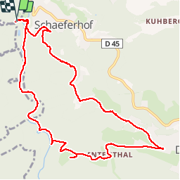


6,4 km | 9,7 km-effort

Usuario


Aplicación GPS de excursión GRATIS
 SityTrail
IGN / Institutos geográficos
SityTrail World
El mundo es suyo
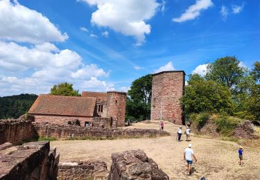
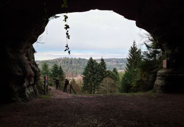
Ruta Senderismo de 11,4 km a descubrir en Gran Este, Mosela, Hommert. Esta ruta ha sido propuesta por markrei.
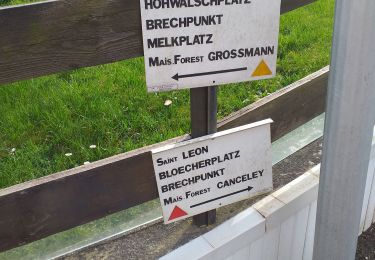
Schaeferhof-kleinmuh-MF Jaegerhof-Ententhal-Dabo-Le Petit Ballestein-Rocher des Corbeaux
Guide : Patrick Gruner


Senderismo

Bici de montaña
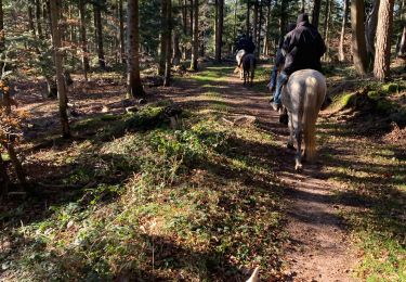
Paseo ecuestre
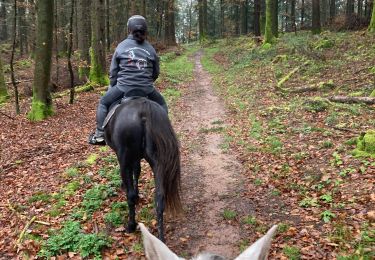
Paseo ecuestre

Paseo ecuestre
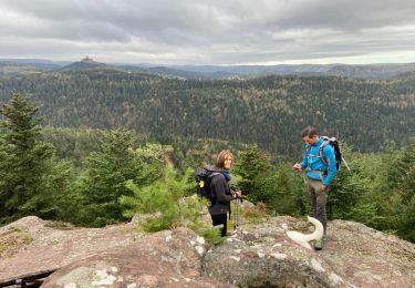
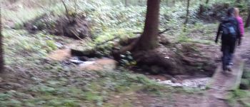
Senderismo
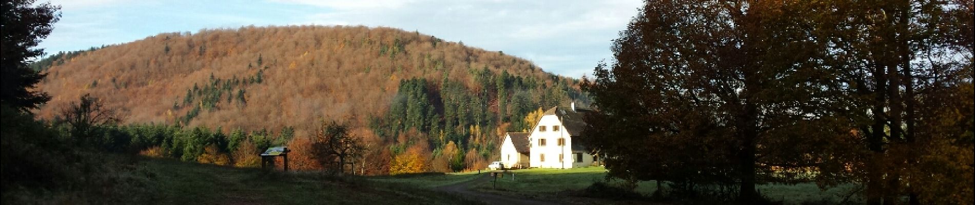
Senderismo
Senderismo