


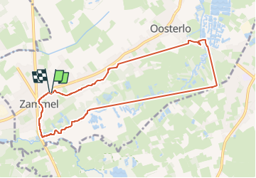

26 km | 29 km-effort


Usuario


Aplicación GPS de excursión GRATIS
 SityTrail
IGN / Institutos geográficos
SityTrail World
El mundo es suyo
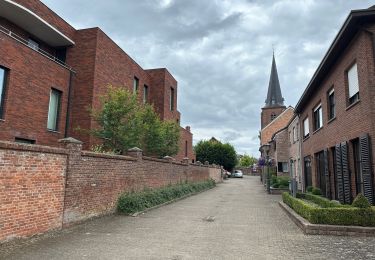
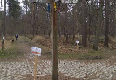
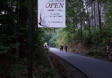
Ruta Senderismo de 8,3 km a descubrir en Flandes, Amberes, Geel. Esta ruta ha sido propuesta por keulemansphilippe.
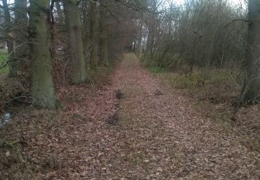
wandeling langs het broek. grotendeels natuur. goede schoenen noodzakelijk bij vochtig weer van eind van de herfst tot Pasen of na periode van hevig regenweer. voor de rest gemiddelde moeilijkheidsgraad.
Senderismo
Senderismo

Bicicleta

Senderismo
Senderismo
Senderismo
Senderismo