


22 km | 29 km-effort

Usuario


Aplicación GPS de excursión GRATIS
 SityTrail
IGN / Institutos geográficos
SityTrail World
El mundo es suyo
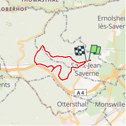
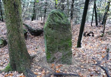
Ruta Senderismo de 9,3 km a descubrir en Gran Este, Bajo-Rin, Saint-Jean-Saverne. Esta ruta ha sido propuesta por mitch1915.
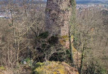
départ de la chapelle st-michel, avec en contre bas le grotte des sorcières. passage par le rocher des dames surplombant l'autoroute. plus loin la passerelle a gibier, puis retour par l'autre versant...circuit balisé cercle rouge sur fond blanc.


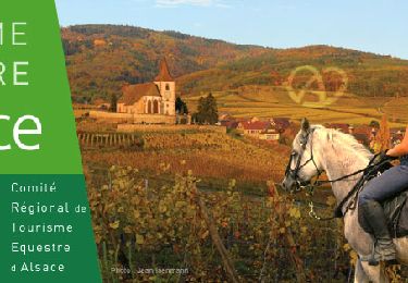
Paseo ecuestre
Bici de montaña
Senderismo
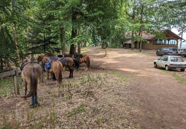
Paseo ecuestre
A pie
A pie
A pie

A pie
A pie