


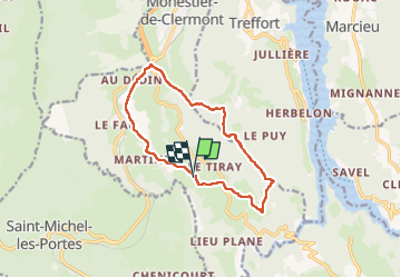

12,2 km | 18,4 km-effort


Usuario


Aplicación GPS de excursión GRATIS
 SityTrail
IGN / Institutos geográficos
SityTrail World
El mundo es suyo
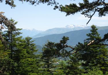
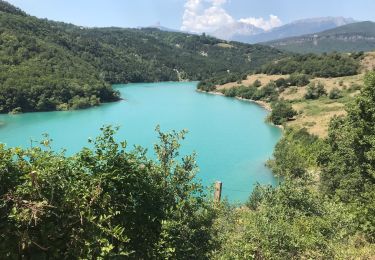
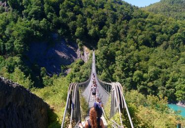
Ruta Senderismo de 12,3 km a descubrir en Auvergne-Rhône-Alpes, Isère, Roissard. Esta ruta ha sido propuesta por rapako.
Si vous ne souhaitez pas vous faire engueuler par le fermier au bout du premier chemin entre Roissard et L'Homme, restez sur le sentier balisé.. Il paraît que ce chemin est "privé". Ne demandez pas "privé de quoi ?", ça ne fait pas rire...

Senderismo
Caballo
Senderismo

Senderismo
Senderismo
A pie
Senderismo
Senderismo
Senderismo