


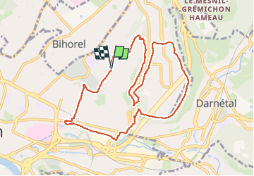


11,7 km | 15,2 km-effort

Usuario


Aplicación GPS de excursión GRATIS
 SityTrail
IGN / Institutos geográficos
SityTrail World
El mundo es suyo
Ruta Senderismo de 10,1 km a descubrir en Normandía, Sena-Marítimo, Ruan. Esta ruta ha sido propuesta por doudet.
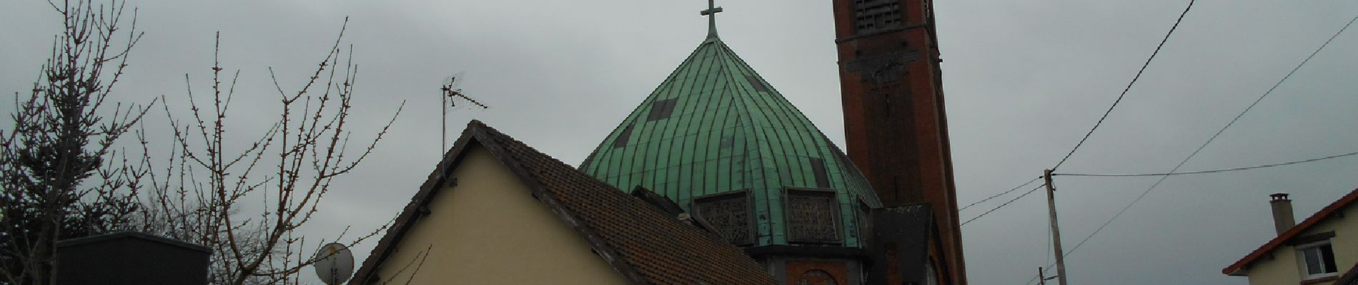
Boucle A-R au départ de l'Eglise St Jean Eudes


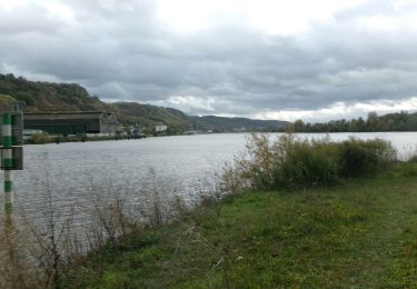
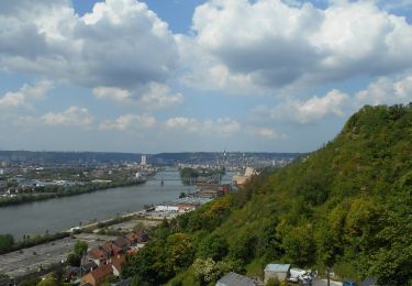
30 fotos en total. Haga clic en una foto para mostrarlas todas en la galería.

Senderismo

Senderismo

Senderismo

Senderismo

Senderismo
Senderismo

Marcha nórdica

Senderismo
Senderismo