


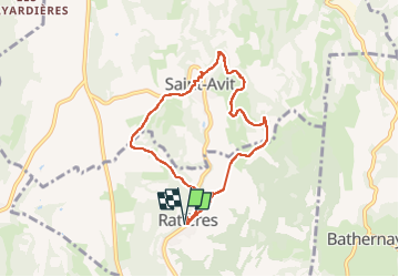

17,4 km | 24 km-effort


Usuario


Aplicación GPS de excursión GRATIS
 SityTrail
IGN / Institutos geográficos
SityTrail World
El mundo es suyo
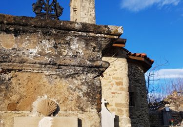
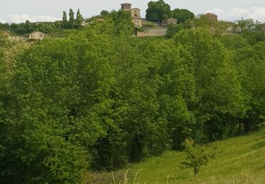
Ruta Senderismo de 7,2 km a descubrir en Auvergne-Rhône-Alpes, Drôme, Ratières. Esta ruta ha sido propuesta por meillon.
passage par Saint Avit puis par la combe Broudelaire. Évitez la propriété privée autour de la tour de Ratières.
Senderismo

sport
Senderismo

Senderismo
Senderismo
Senderismo
Senderismo
Senderismo
Senderismo