


11,4 km | 17,5 km-effort


Usuario


Aplicación GPS de excursión GRATIS
 SityTrail
IGN / Institutos geográficos
SityTrail World
El mundo es suyo
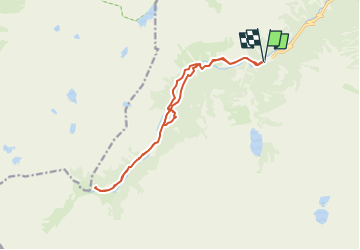
Ruta Raquetas de nieve de 15,5 km a descubrir en Occitania, Altos-Pirineos, Cauterets. Esta ruta ha sido propuesta por topolino.
A partir du Parking du Pont d’Espagne (1457m)…
Au fil de la Vallée et du Gave du Marcadau : Chalet du Clot (1521m)… Plateau du Clot … Lac du Paradis… Pont du Cayan (1620m)… Pont d’Estalounqué (1720m)… Pla de la Gole… Refuge Wallon-Marcadau (1865m)

Senderismo

Senderismo

Senderismo
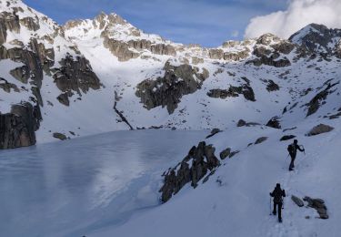
Senderismo

Senderismo

Senderismo

Senderismo
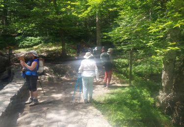
Senderismo
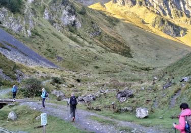
Senderismo