


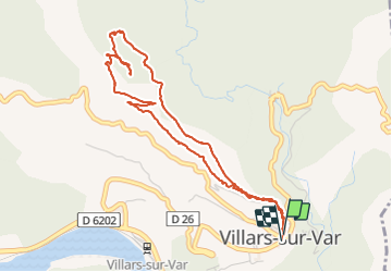


7 km | 13,4 km-effort


Usuario


Aplicación GPS de excursión GRATIS
 SityTrail
IGN / Institutos geográficos
SityTrail World
El mundo es suyo
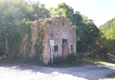
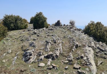
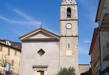
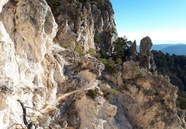
Ruta Senderismo de 5,5 km a descubrir en Provenza-Alpes-Costa Azul, Alpes Marítimos, Villars-sur-Var. Esta ruta ha sido propuesta por DIDIERLESERT.
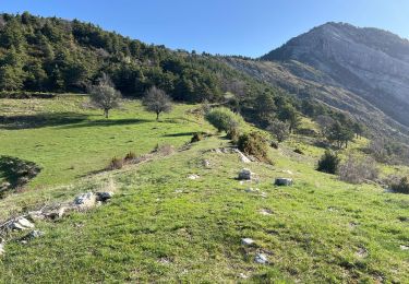
Montée puis descente pas de plat
Dans la descente passage longeant des ravins (vertige)
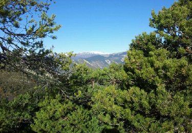
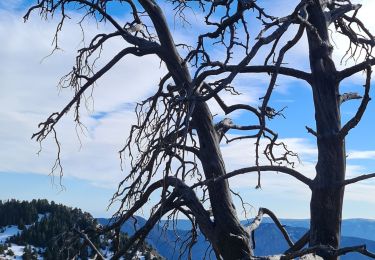
Très belle vue de la croix
A pie

A pie
Senderismo
Senderismo
Senderismo
Senderismo
Senderismo
A pie
Senderismo