


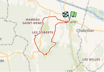

22 km | 30 km-effort

Usuario GUIDE


Aplicación GPS de excursión GRATIS
 SityTrail
IGN / Institutos geográficos
SityTrail World
El mundo es suyo
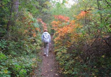
Ruta Senderismo de 13,1 km a descubrir en Auvergne-Rhône-Alpes, Drôme, Grane. Esta ruta ha sido propuesta por thonyc.
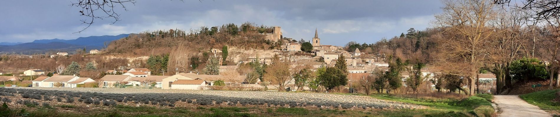
Arpenter le village de Grane.
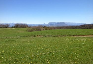
De jolis panoramas sur toute la vallées et sur les montagnes de la Drôme.


Senderismo
Senderismo
Senderismo
Senderismo
Senderismo
Senderismo
Senderismo
Senderismo
Senderismo