


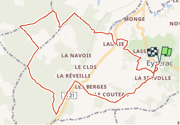

13,4 km | 16,5 km-effort


Usuario


Aplicación GPS de excursión GRATIS
 SityTrail
IGN / Institutos geográficos
SityTrail World
El mundo es suyo
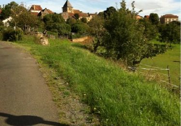
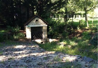
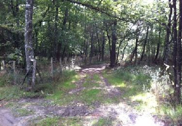
Ruta Senderismo de 13,3 km a descubrir en Nueva Aquitania, Dordogne, Eyzerac. Esta ruta ha sido propuesta por YV24.
Selon PDIPR. ATTENTION, balisage "léger" le long de la N21, soyez prudent le long des glissières de bord de cette route. Tracé varié, impraticable après fortes pluies
Senderismo
Bici de montaña
Senderismo
Senderismo
Senderismo
Senderismo

Senderismo
Senderismo
Senderismo