


6 km | 10,6 km-effort

Usuario


Aplicación GPS de excursión GRATIS
 SityTrail
IGN / Institutos geográficos
SityTrail World
El mundo es suyo
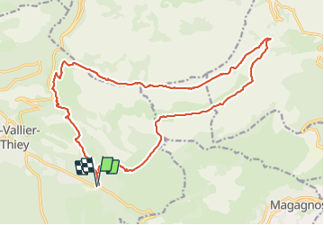
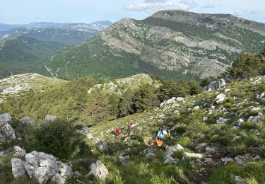
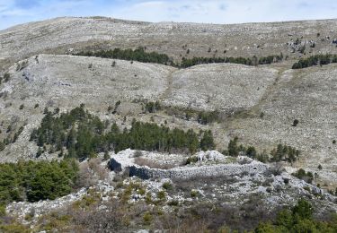
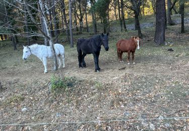
Ruta Senderismo de 23 km a descubrir en Provenza-Alpes-Costa Azul, Alpes Marítimos, Saint-Vallier-de-Thiey. Esta ruta ha sido propuesta por ETMU5496.
Depuis le Col du Pilon et le col du Ferrié
A signaler une partie bitumée vers le pk 16 sur 2-3 km...
La partie finale pour rejoindre le point de départ emprunte un passage non balisé. Etre vigilant sur la trace
IBP=120


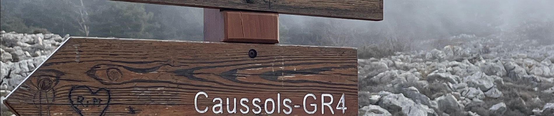
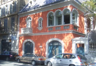
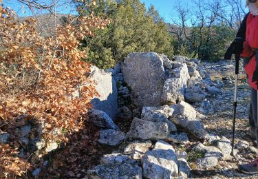
32 fotos en total. Haga clic en una foto para mostrarlas todas en la galería.

Senderismo

Senderismo
A pie

Bici de montaña

Senderismo
Senderismo
Senderismo
Senderismo
Senderismo