


204 km | 278 km-effort

Usuario


Aplicación GPS de excursión GRATIS
 SityTrail
IGN / Institutos geográficos
SityTrail World
El mundo es suyo
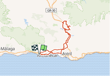
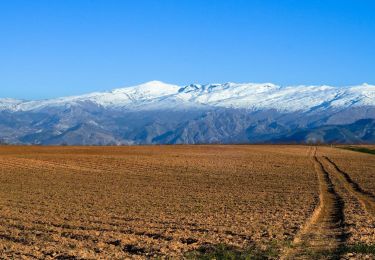
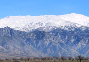
Ruta Motocross de 140 km a descubrir en Andalucía, Granada, Almuñécar. Esta ruta ha sido propuesta por jpipacific.
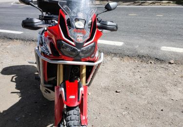
Honda CRF 1000 L DCT en duo.
Randonnée pour aller jusqu'à un cortijo d'amis où nous avons mangé.
Pour revenir, nous sommes passés par les chemins pour revenir jusqu'à Nigüelas puis par la route jusqu'à La Herradura.
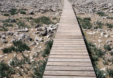
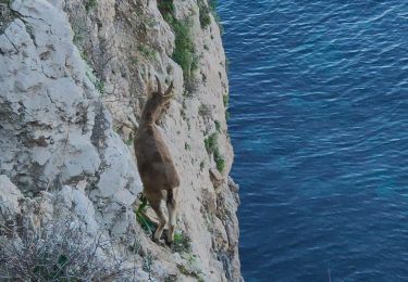
Les points de vue dans la montagnes sont superbes.

Motocross
Motocross
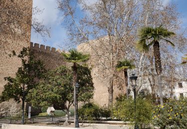
Motocross
Motocross
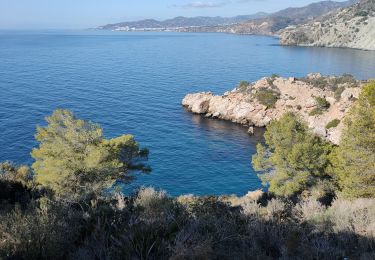
Senderismo
Motocross
Motocross
Senderismo
Senderismo