


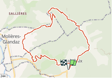

7,8 km | 14,3 km-effort

Usuario


Aplicación GPS de excursión GRATIS
 SityTrail
IGN / Institutos geográficos
SityTrail World
El mundo es suyo
Ruta Senderismo de 13,3 km a descubrir en Auvergne-Rhône-Alpes, Drôme, Laval-d'Aix. Esta ruta ha sido propuesta por ajd26.
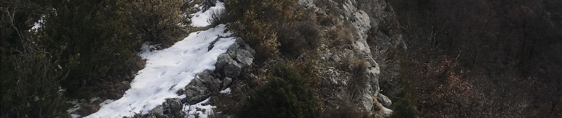
jolie rando, beaux panoramas sur le Glandasse
avec possibilité de faire l'A/R sur la crete depuis le pas du loup jusqu'au pas de laTruche


Senderismo
Senderismo
Senderismo


sport
sport

Senderismo

sport

Senderismo
Senderismo