


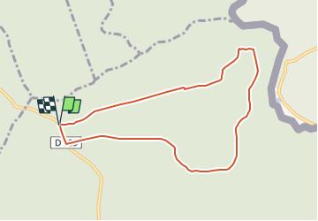

14,4 km | 19,2 km-effort


Usuario


Aplicación GPS de excursión GRATIS
 SityTrail
IGN / Institutos geográficos
SityTrail World
El mundo es suyo
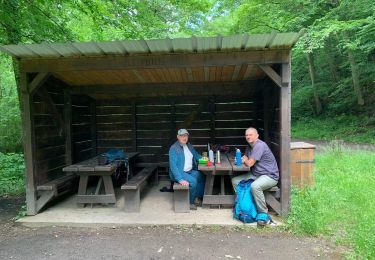
Ruta Marcha nórdica de 7,7 km a descubrir en Gran Este, Ardenas, Hargnies. Esta ruta ha sido propuesta por denissculier.
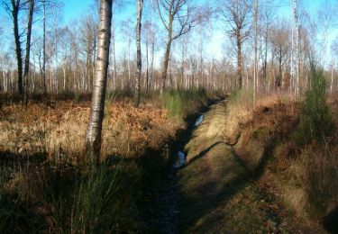
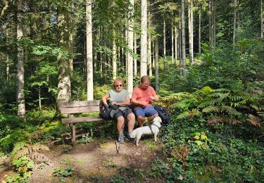
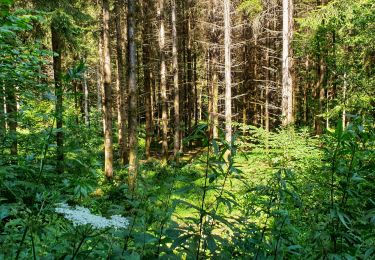
Une randonnée agréable et de faible dénivelé permettant de s’immerger dans le calme et la quiétude de la forêt du plateau ardennais.

Senderismo

Senderismo
Senderismo

Senderismo
Senderismo
Senderismo
Senderismo
Senderismo
A pie