


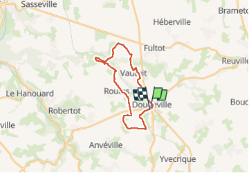


13,1 km | 14,9 km-effort


Usuario


Aplicación GPS de excursión GRATIS
 SityTrail
IGN / Institutos geográficos
SityTrail World
El mundo es suyo
Ruta Senderismo de 20 km a descubrir en Normandía, Sena-Marítimo, Doudeville. Esta ruta ha sido propuesta por phiber76.
Chemin agréable, peu de macadam.
Belles maisons à Limanville
Eviter de se garer dans le centre (mairie) de Doudeville: zone bleue

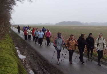
Senderismo

Otra actividad

Senderismo
Otra actividad

Senderismo

Senderismo

Senderismo
Senderismo
Senderismo