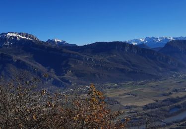
8,7 km | 16,8 km-effort
carriere de l'echaillon
cousam
Usuario
Longitud
2 km
Altitud máxima
443 m
Desnivel positivo
194 m
Km-Effort
4,6 km
Altitud mínima
196 m
Desnivel negativo
204 m
Boucle
Sí
Fecha de creación :
2023-01-14 12:36:56.271
Última modificación :
2023-01-14 20:25:15.318
2h54
Dificultad : Difícil
Aplicación GPS de excursión GRATIS
A propósito
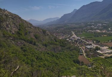
Ruta Senderismo de 2 km a descubrir en Auvergne-Rhône-Alpes, Isère, Saint-Quentin-sur-Isère. Esta ruta ha sido propuesta por cousam.
Localización
País:
France
Región :
Auvergne-Rhône-Alpes
Departamento/provincia :
Isère
Municipio :
Saint-Quentin-sur-Isère
Localidad:
Unknown
Salida:(Dec)
Salida:(UTM)
703622 ; 5019437 (31T) N.
Comentarios
Excursiones cerca
38 St Quentin sur isere
Senderismo
Medio
Saint-Quentin-sur-Isère,
Auvergne-Rhône-Alpes,
Isère,
France
17 km | 28 km-effort
7h 22min
Sí
38 la roize
Senderismo
Difícil
Voreppe,
Auvergne-Rhône-Alpes,
Isère,
France
5,8 km | 10,5 km-effort
3h 17min
Sí
voreppe saint julien le grand raz voreppe
Bici eléctrica
Difícil
(1)
Voreppe,
Auvergne-Rhône-Alpes,
Isère,
France
35 km | 50 km-effort
Desconocido
Sí
38 passieres charminelle zel 01.08.24
Senderismo
Difícil
La Sure en Chartreuse,
Auvergne-Rhône-Alpes,
Isère,
France
12,2 km | 23 km-effort
7h 14min
Sí
le trou au loup
Senderismo
Difícil
Voreppe,
Auvergne-Rhône-Alpes,
Isère,
France
8,5 km | 16,5 km-effort
6h 29min
Sí
Dent de Moirans
Senderismo
Muy difícil
Saint-Quentin-sur-Isère,
Auvergne-Rhône-Alpes,
Isère,
France
14,7 km | 26 km-effort
6h 17min
Sí
vire de l'aiguille de Chalais
Senderismo
Difícil
Voreppe,
Auvergne-Rhône-Alpes,
Isère,
France
3,4 km | 6,8 km-effort
6h 26min
No
Le trou noir de la buisse
Senderismo
Difícil
La Buisse,
Auvergne-Rhône-Alpes,
Isère,
France
4,1 km | 5,9 km-effort
5h 38min
Sí